New app to shed light on spurdog populations and reduce bycatch
20 December 2022
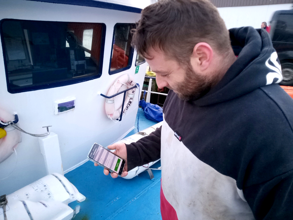
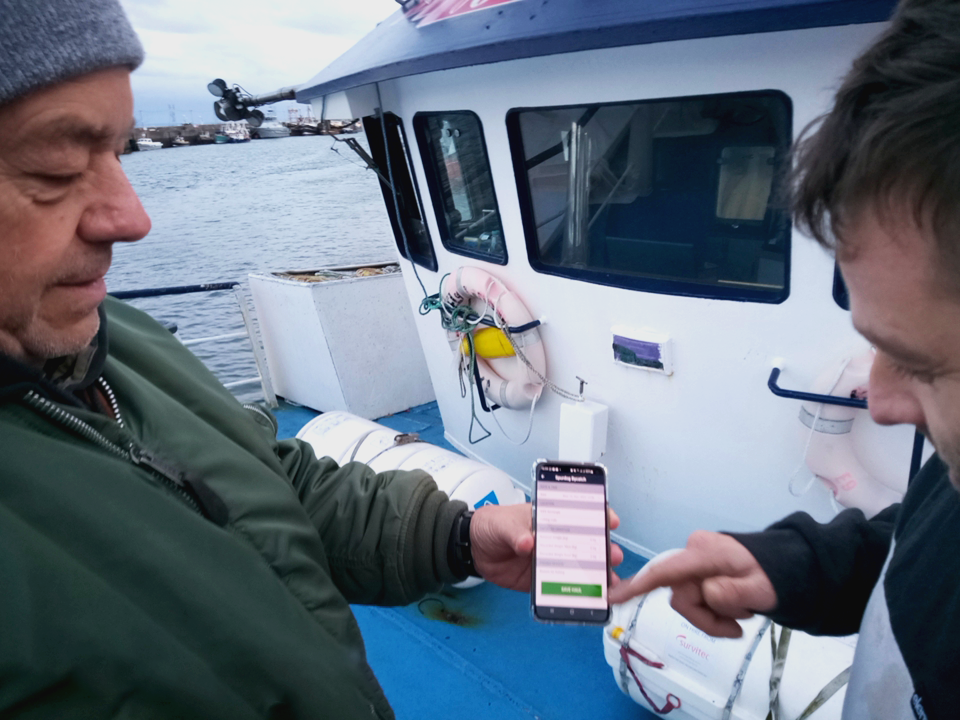
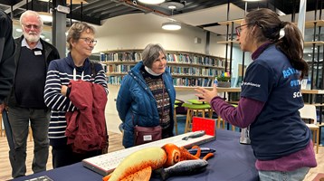
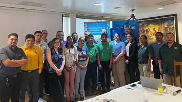
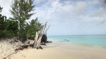
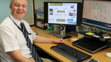
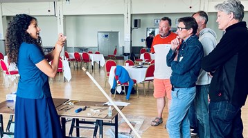
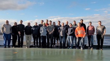
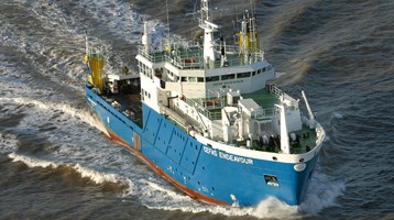
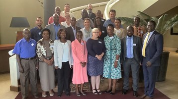
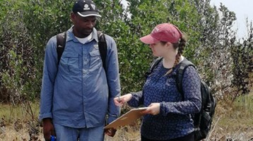
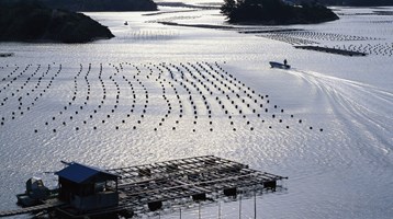
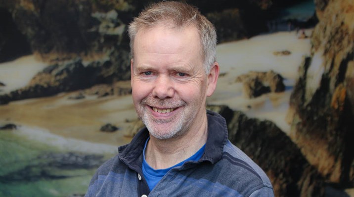
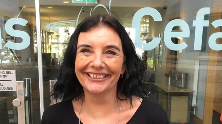
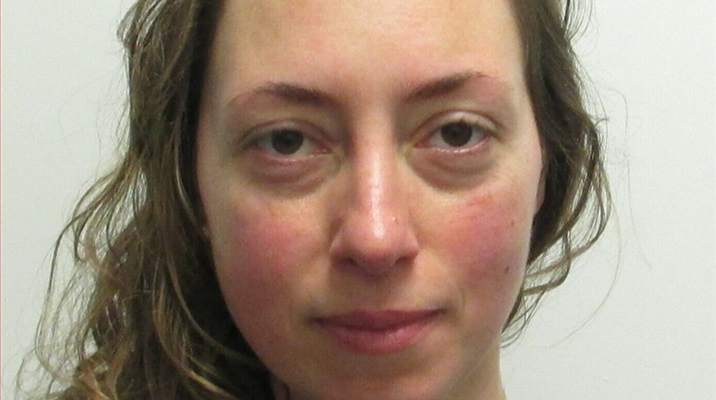
Cefas Scientist Fisheries Observer, Allen Searle, demonstrating the app to skipper, Ed Jones
The pioneering technology will allow skippers to report bycatch and plot routes to avoid areas of high spurdog density – all in one place.
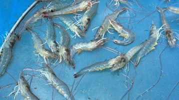
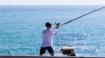
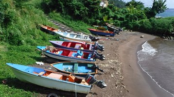
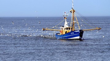
A new smartphone app that’s being trialled by Cornish fishers in the Celtic Sea is seeking to reduce bycatch of spurdog.
The app, developed by Applied Satellite Technology Ltd (AST) as part of the Smartfish H2020 international research project, represents the next phase in the innovative “Spurdog Bycatch Management Programme,” a collaboration between scientists and the fishing industry which uses scientifically-robust data collected by fishers on spurdog bycatch to map out the distribution of this highly migratory, endangered species. As well as reporting their own incidents of spurdog bycatch, the updated app provides real-time feedback to skippers, so they can avoid areas where there is likely to be a high concentration of the species.
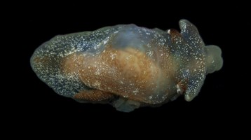
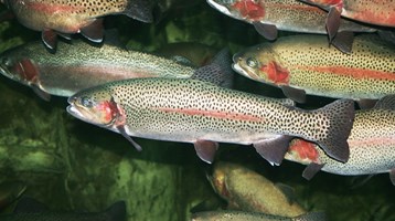
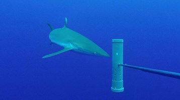
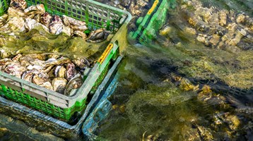
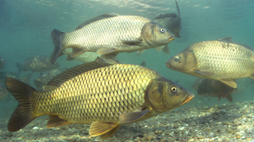
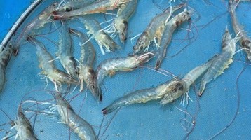
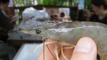
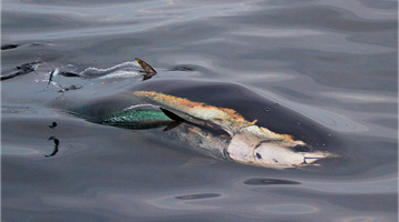
Spurdog are demersal, shoaling sharks that belong to the dogfish family. Unlike other commercially valuable species, very little is known about the size and distribution of spurdog populations. Initially declared a critically endangered species, a precautionary management measure adopted in 2010 placed a zero Total Allowable Catch (TAC) on spurdog for all EU-registered vessels operating in EU waters. Unable to land spurdog bycatch, it gave way to the highly wasteful practice of dead discarding.
An industry-led research programme commissioned by the Department for the Environment, Food and Rural Affairs (Defra) in 2016 and run by the Centre for Environment, Fisheries and Aquaculture Science (Cefas) sought to experiment with giving Cornish gillnetters a low dead spurdog bycatch quota. The initial concept was that fishers would submit a report every 24 hours detailing their interactions with spurdog bycatch, providing the retained and discarded weight of the catch and tagging it to an ICES geolocation. The Cornish Fish Producers’ Organisation (CFPO) collates this data and Cefas produces a map with a traffic light system representing low to high interactions with spurdog, so that skippers can make an informed decision on where to fish to avoid spurdog interaction.
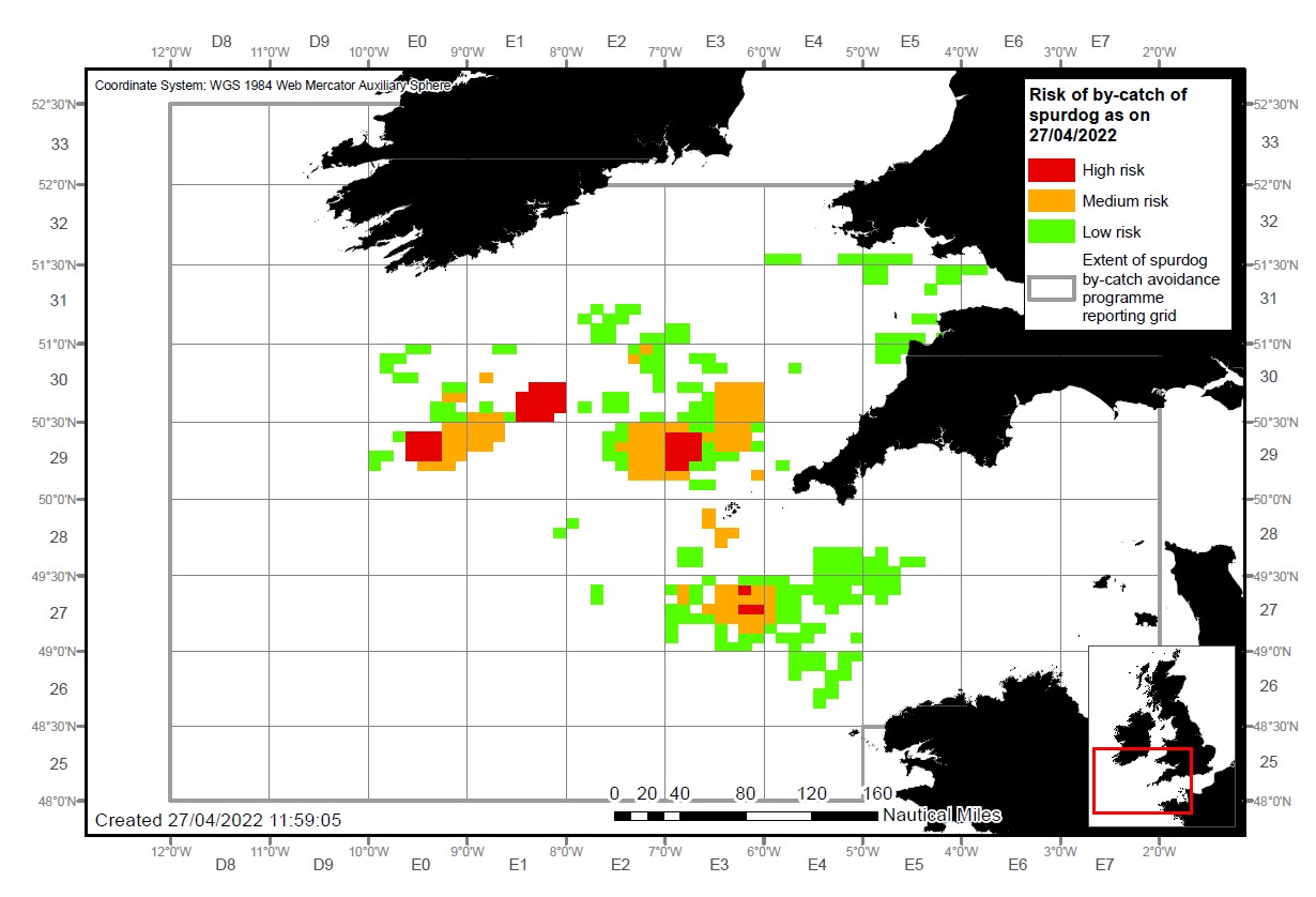
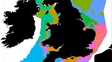
Bycatch advisory map
Example of a semi-automated bycatch advisory map, indicating risk of spurdog bycatch in the Celtic Sea. Red shows high risk, amber is medium and green corresponds to a low risk.
Previously, reports could be submitted by email, SMS or WhatsApp. But the introduction of the app intends to streamline the process and automate the feedback mechanism so that it updates in real time.
Commenting on the update to the app, Cefas scientist and project lead, Silvia Rodriguez-Climent said:
“We’re attempting to achieve two outcomes with this programme. The first is to collect robust, accurate data on spurdog bycatch that can be used to inform our understanding of stock levels and distribution for scientific research as well as to influence future management measures. The second is to create a user-friendly tool that enables fishers to make informed decisions on where to fish to avoid unwanted bycatch.
“For the success of both of these objectives, we need to make the process as efficient as possible, which the app allows us to do. Previously, skippers submitted their bycatch entries, never to be seen again by them. But the app immediately shares this information back to them on a heatmap, allowing them to make decisions much faster.
“The fact that the app streamlines the process and makes it more engaging should then result in more complete, accurate data being shared.”
The data is held in a new, stand-alone database, housed outside of Cefas and any other government organisation, with the hope that it will build trust over where the data is held and who has access to it.
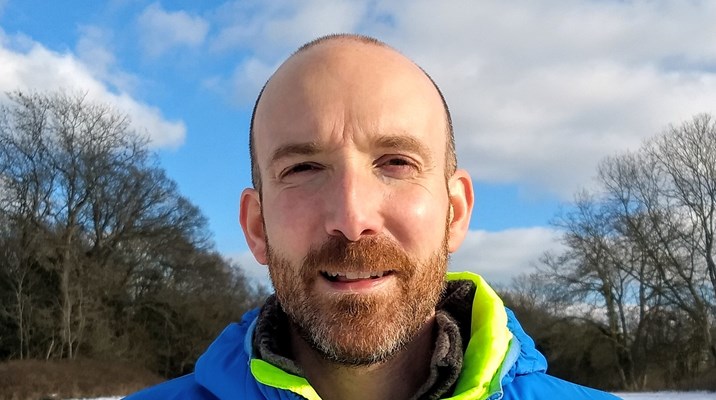
Fishers have long derided spurdog’s “Prohibited Species” listing, with some finding the practice of dead discarding (throwing dead fish back into the sea) distressing and wasteful. Ed Jones, who skippers vessel the Rachel of Ladram out of Newlyn, has participated in the trial of the app. He said:
"The app will make a big difference. It’s quicker than writing down the readings and sending them later. Instead, you can record spurdog by-catches as they happen. It's just simpler".
Another key feature of the app is the ability for Producers’ Organisations to access a dashboard with catch and bycatch information displayed in real-time, allowing for more efficient evaluation and coordination between POs and their members.
It was anticipated that the app’s success could see a gradual expansion of the number of vessels in the diverse fisheries of the Celtic Sea granted access to the programme and given small spurdog quotas. This follows the logic that with ample data on a stock, there is less reason to adopt a management procedure under the precautionary principle. Instead, a more balanced, flexible approach could be taken that allows landing of sustainable quantities of spurdog, and an end to the wasteful practice of dead discarding.
However, due to the latest positive scientific advice and a full TAC being set for 2023, there is not a provision in the UK/EU annual fisheries consultations written record for bycatch programmes to continue in 2023. This programme was always intended to be time-limited and linked to the scientific objectives of the programme. These scientific objectives (which include to reduce fishing mortality and to report spurdog presence and absence in near real-time) are no longer relevant now that spurdog is being removed from the prohibited species list.
To find out more:
Follow SMARTFISH H2020 on Twitter, LinkedIn or Facebook or read more on the website
Related to this article
Topic
Case studies
People


News
Further Reading