
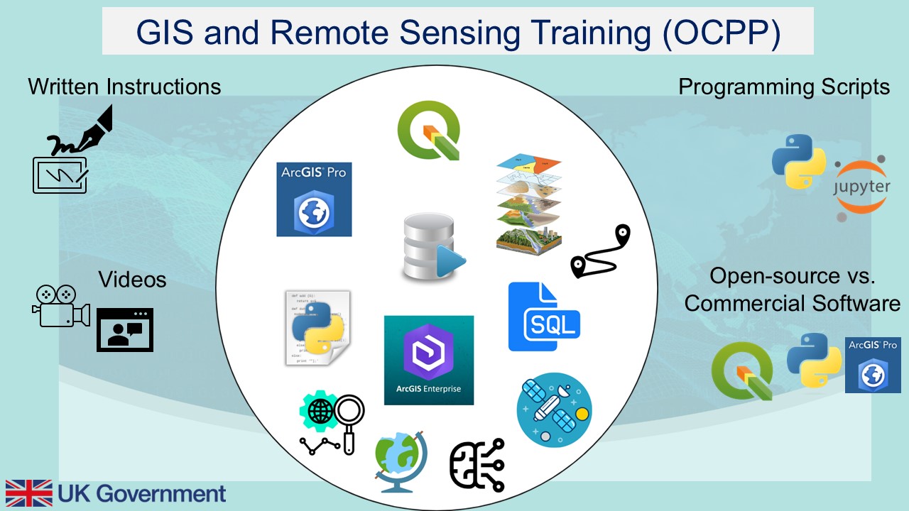
OCPP GIS and Remote Sensing Training
This Geographic Information System (GIS) and Remote Sensing Training is aimed for complete beginners and no prior knowledge is needed. Based on the licence availability, you can either choose from
1. Open-source training (no licence is required) or
2. Commercially Licenced training, where you will require to have purchased a personal licence or have it available through your organisation.
The training offers a free-trial period for ArcGIS Pro and ArcGIS Online though. For further information on the training content, please see the linked training brochure below.
To access the training material, please fill in this short form here, and we will provide you with access.
1. Commercial GIS Training (software licence required)

ArcGIS Enterprise or Online
What will be covered?
-
ArcGIS Enterprise and ArcGIS online: Data Download
-
Module 1: Introduction to ArcGIS Enterprise Portal and ArcGIS Online
-
Module 2: Introduction to ArcGIS Web Applications
-
Module 3: Introduction to StoryMaps
-
Metadata ArcGIS Enterprise and Online Modules
ArcGIS Pro Training
What will be covered?
-
ArcGIS Pro Training: Data Download
-
Module 1: Introduction to ArcGIS Pro
-
Module 2: Data Creation and Handling
-
Module 3: Spatial Analysis
-
Module 4: Cartography
-
Module 5: Python Environment
-
Metadata ArcGIS Pro modules
2. Open Source GIS and Remote Sensing Training

Introduction to Earth Observation and the Remote Sensing
What will be covered?
-
Module 1: Introduction to Earth Observation and the Use of Remote Sensing for Marine Monitoring
River Catchment Modelling with QSWAT+
What will be covered?
-
Data Download
-
Instructions
-
Metadata table
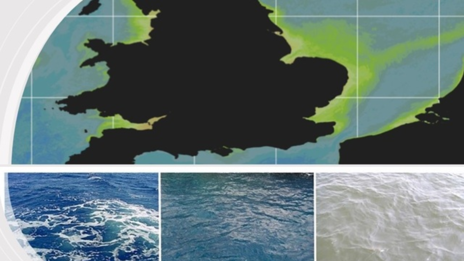
Plume Mapping Using Ocean Colour
What will be covered?
-
Data Download
-
Software Installation
-
Instructions

QGIS Training
What will be covered?
-
QGIS Training: Data Download
-
Module 0: Instructions on Introduction to GIS and QGIS
-
Module 0: Video on Introduction to GIS and QGIS
-
Module 1: Instructions on Map Creation and Visualisation
-
Module 1: Video on Map Creation and Visualisation
-
Module 2: Instructions on Data Visualisation and Query
-
Module 2: Video on Data Visualisation and Query
-
Module 3: Instructions on Digitisation
-
Module 3: Video on Digitisation
-
Module 4: Instructions on Coordinate Reference Systems
-
Module 4: Supplementary Instructions
-
Module 4: Video on Coordinate Reference Systems Video
-
Module 5: Instructions on Raster
-
Module 5: Instructions on Raster
-
Module 6: Introduction to Spatial Analysis in QGIS
-
Module 7: Case Study-Calculating Potential Habitat Loss from Human Activities in Sri Lanka (based on the concepts from Module 6 Spatial Analysis)
-
Module 8: Introduction to data collection using QField Application and QGIS Intro
-
Module 8: Introduction to data collection using QField Application and QGIS Video
-
Metadata QGIS Modules
If you have any questions, don't hesitate to get in touch at: gissupport@cefas.gov.uk

