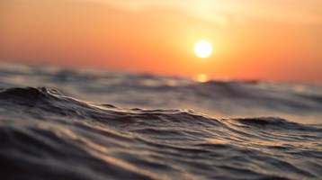
Ocean and coastal processes
Assessing the physical and biochemical factors impacting seas and coastlines
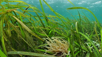
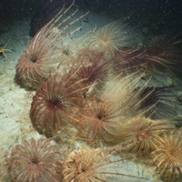
Our ocean and coastal process research is focused on understanding how the underlying physics, chemistry and biology of marine and coastal environments work and how they affect ecosystems. This involves studying the cycles of heat, freshwater, carbon, nutrients, light and oxygen that drive our marine ecosystems.
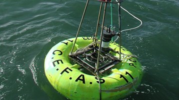
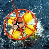
Since the foundation of the Lowestoft Laboratory in 1902 the connection between marine organisms and physical processes has been at the heart of our research - we’ve collected oceanographic data for more than 100 years. Our role as a data centre with capability to provide data analysis enables us to include the wealth of both historical information and modern big-data into bespoke advice.
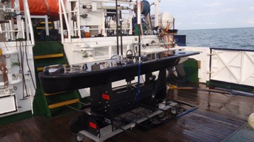
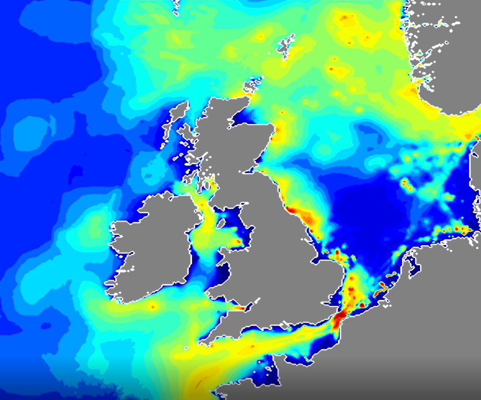
We can monitor a wide range of processes, from global ocean circulation to nutrient flow and temperature in estuaries. By observing the marine and coastal environment over the longer term, we can understand the mechanisms that drive change over seasons to decades.
This oceanography and biogeochemistry research has always been integrated with our hydrodynamic and ecosystem modelling work. This enables the flow of information from research programme design, through observation campaigns to model validation and use. In this way we combine in situ knowledge with modelling capability. We use high performance computing for many of our model systems and our geographic information system (GIS) specialists provide visual interpretation of results and forecasts.
Our ocean processes scientists contribute to the monitoring and modelling of underwater noise at local, national, and international scales that leads to influential advice that improves the management of underwater noise.
the connection between marine organisms and physical processes is at the heart of our research
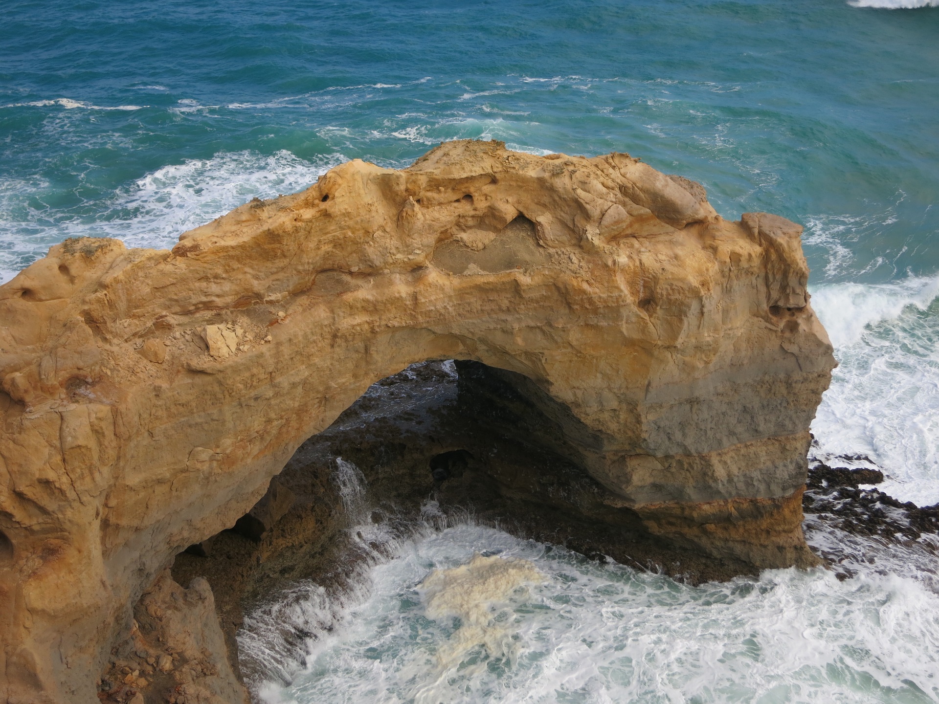
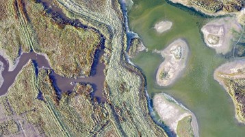
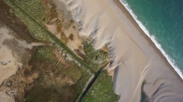
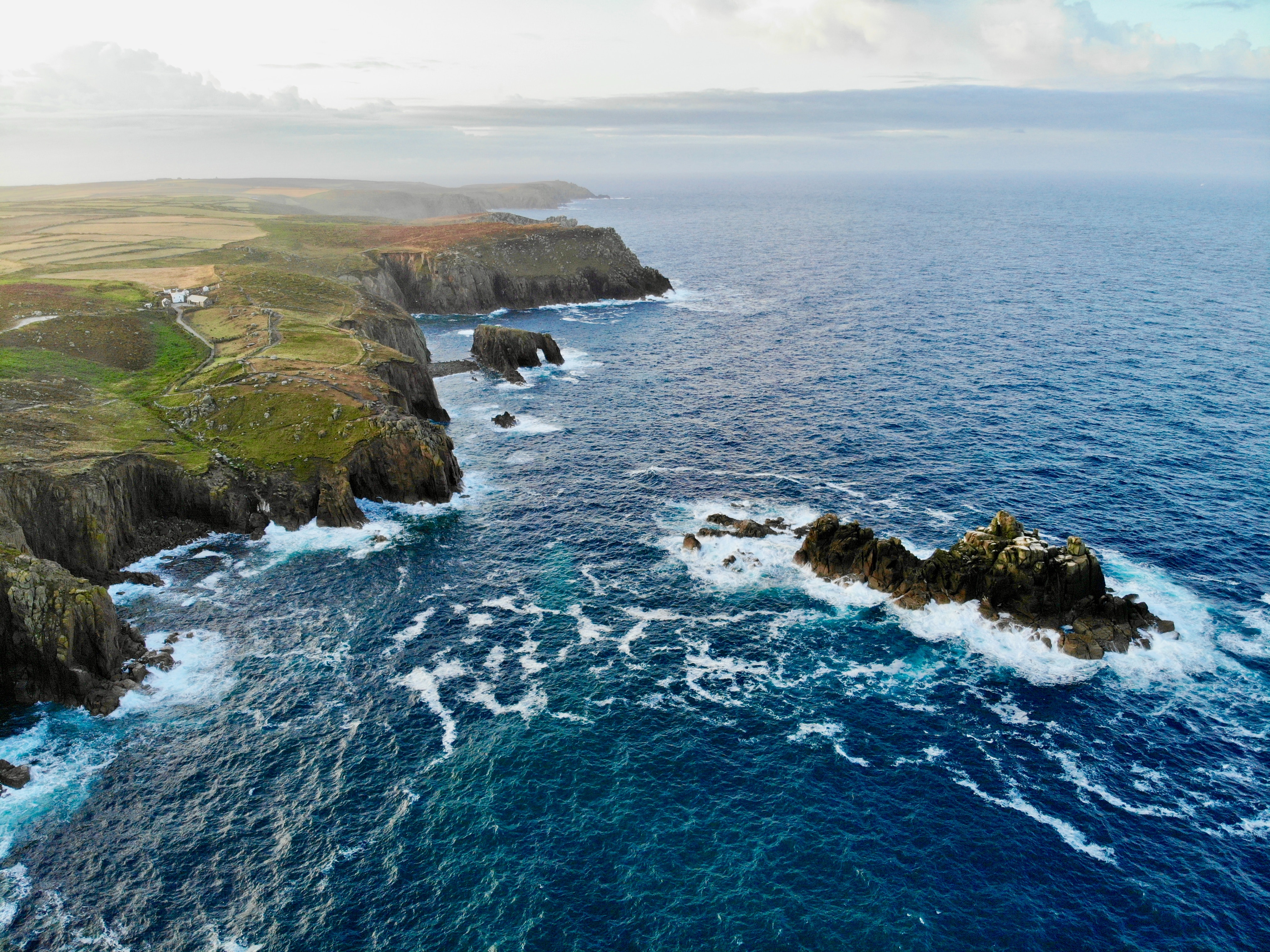
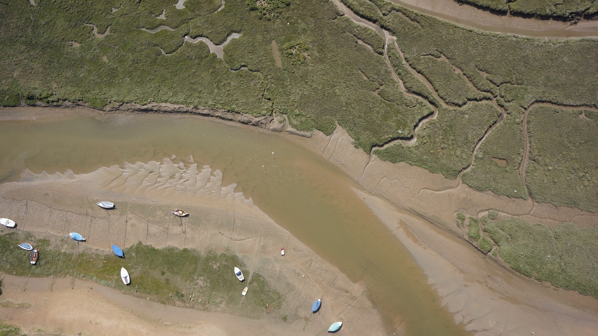
We develop tools for applications from local coastal management to regional-scale geomorphological characterisation of coastlines in support of major coastal infrastructure projects. We use X-band radar and coastal imaging systems from the land to analyse the continuous changes in waves, currents, channels, bars and banks that affect our coastal systems. Remotely Piloted Aircraft are used to monitor coastal erosion in high resolution, making spatially continuous topographic and sedimentologic measurements that help us advise coastal decision makers.