UK scientists unite for seabed mapping survey of the UK’s south-west coastline
20 April 2026
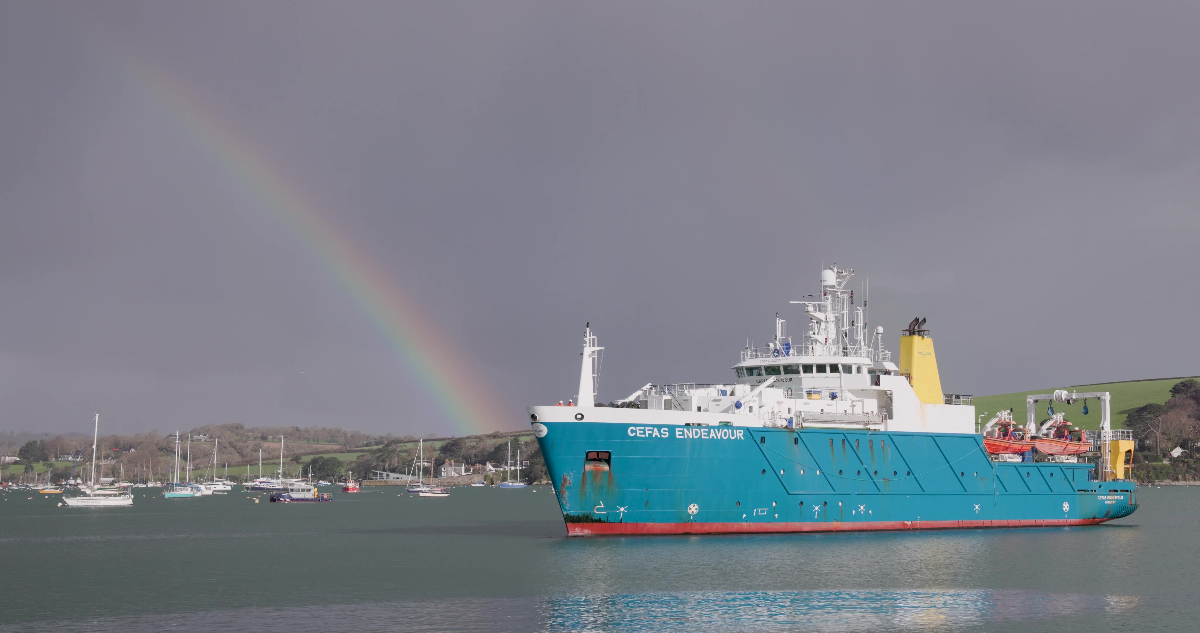
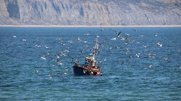
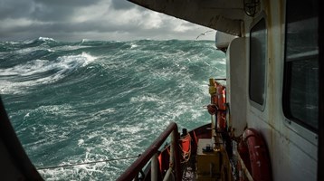
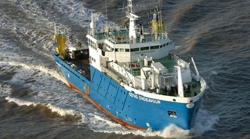
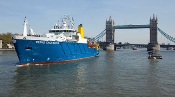
The Research Vessel Cefas Endeavour has set sail on her most ambitious collaborative survey to date.
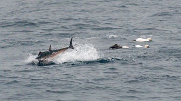
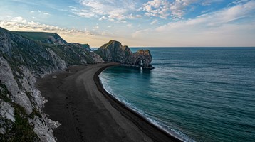
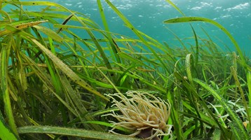
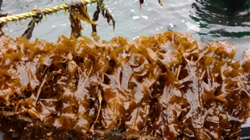
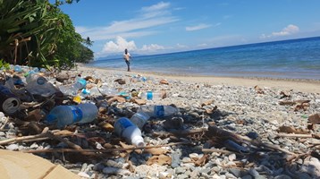
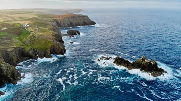
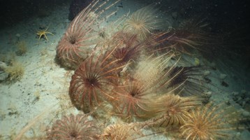
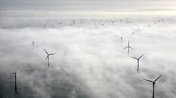
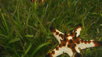
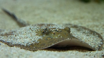
Over the next four-weeks, Cefas scientists will help build the most detailed picture yet of the UK's south-west seabed, gathering environmental evidence that will protect marine habitats, support cleaner energy and improve coastal safety.
The UK Centre for Seabed Mapping (UK CSM), a group of over 30 public sector organisations with a shared commitment to collect and share high-quality marine data, are undertaking a seabed mapping survey – CSM2026 – to explore and map the seabed along the UK’s south-west coastline.
Convening multiple government agencies, the survey represents an unprecedented level of collaboration within the maritime sector. By combining their skills and capabilities in a single survey, the team aim to secure data to deliver the UK government’s commitments and make advances in how our seabed is mapped, understood and managed.
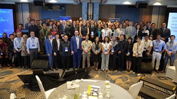
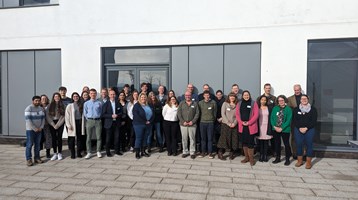
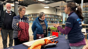
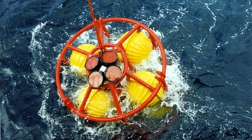
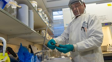
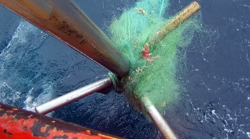
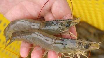
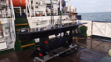
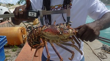
Throughout the four‑week survey, a team of 26 scientists will use cutting‑edge technology deployed from the Research Vessel Cefas Endeavour to collect vital hydrographic, geological and environmental data as the survey gets underway from Lowestoft. Cefas is playing a critical role, providing the vessel that makes the survey possible along with 12 expert scientists who will collect physical sediment, biological and environmental samples, before processing, validating and interpreting the results.
The survey was a feature segment on ITV East Anglia on Friday 17th April. Watch the piece here from 7mins50
11 UK CSM member organisations are involved: the Maritime and Coastguard Agency (MCA); the UK Hydrographic Office (UKHO); British Geological Survey (BGS); Centre for Environment, Fisheries and Aquaculture Science (Cefas); Department for Environment, Food & Rural Affairs (Defra), The Crown Estate; Historic England; Joint Nature Conservation Committee (JNCC); Agri-Food and Biosciences Institute, Northern Ireland (AFBI); Natural England and the Royal Navy.
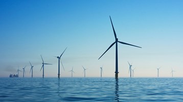
Over the course of the survey, the scientists on board will have the opportunity to work with experts from other public sector organisations, share skills and source key seabed mapping data that supports a wide range of applications including offshore energy and infrastructure, marine ecosystem science, safety at sea, marine policy, and defence.
The four-week research survey is due to take place between 20 April and 19 May. This will consist of two survey legs, starting in Lowestoft, Suffolk and ending in Falmouth, Cornwall. All organisations are supporting the planning of alternative sites to maximise the opportunity.
Marine Minister Emma Hardy said:
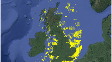
“The UK is at the forefront of marine protection with a comprehensive network of 374 Marine Protected Areas, protecting more than 38% of our waters.
“This survey is an excellent example of our work in partnership to improve our understanding of our maritime estate, providing data to deliver our commitments and make advances in how our seabed is mapped, understood and managed.”
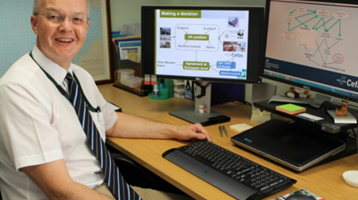
Alison Pettafor, co-chair of the Project Team and Surveyor in Charge during the first survey leg, Cefas said:
“This survey is an exciting opportunity and highlights the strength of UK Government organisations working together. It clearly demonstrates the benefits of a ‘collect once, use many times’ approach – combining expertise, sharing data openly and building a clearer picture of our marine environment to support better decisions for the future.
“The project has received strong support from all partners involved and represents the most ambitious collaborative surveys undertaken on RV Cefas Endeavour to date. It could mark the beginning of a new era in how we map and understand our seabed.”
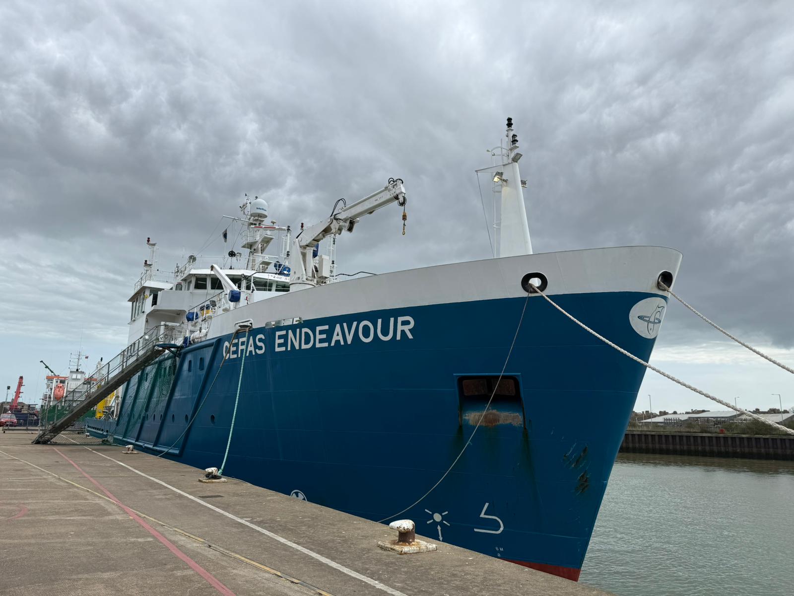
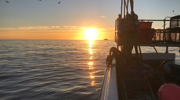
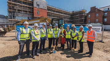
RV at the docks in Lowestoft
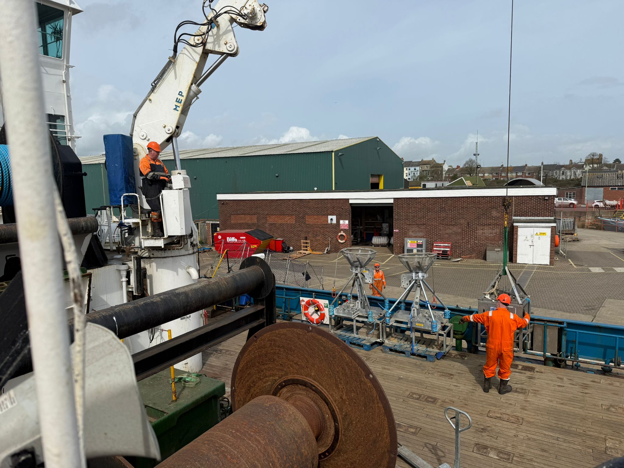
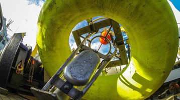
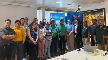
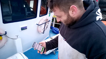
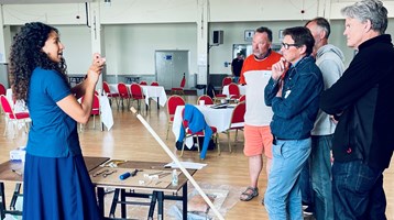
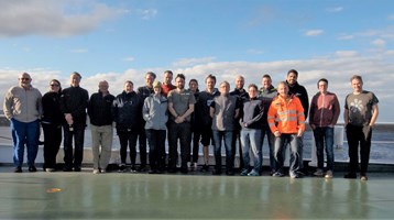
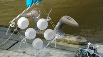
Team setting up equipment
About the CSM2026 survey:
The CSM2026 survey is a joint project being undertaken by UK CSM member organisations and chaired by Andrew Colenutt, Head of Hydrography and Meteorology at the MCA. The Research Vessel Cefas Endeavour is provided by Cefas.
The survey is being co-funded by the MCA, through the UK’s Civil Hydrography Programme, and Cefas, through the Marine Protected Areas programme. Additional funding has been provided by the Department for Environment, Food & Rural Affairs’ (Defra) Marine and Fisheries Research & Development Fund.
About the UK Centre for Seabed Mapping (UK CSM)
The UK Centre for Seabed Mapping, administered by the UKHO, was established in 2022 and coordinates the collection, management and access of seabed mapping data. Through collaboration, the UK CSM aims to improve understanding of the UK’s maritime estate and inform the effective management of marine resources. There are currently over 30 public sector organisations who are members of the UK CSM with an interest in marine geospatial information and data.
Find out more about the UK Centre for Seabed Mapping (UK CSM): https://www.admiralty.co.uk/uk-centre-for-seabed-mapping.
Related to this article
Topic
Case studies
People


News


Further Reading