Interactive Map and Report to support Dorset and Devon Aquaculture
26 February 2021
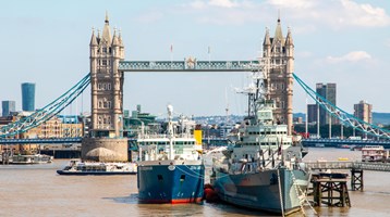
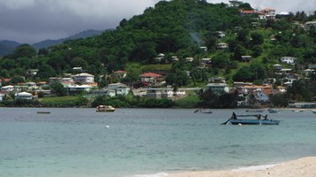
The Dorset and East Devon Coast has been mapped as part of a project aiming to help develop sustainable aquaculture across the region while recognising existing marine activity such as military exercise areas and under water hazards such as shipwrecks.
A report out today, detailing these findings, provides valuable insight into how the UK can take further steps to increase sustainable aquaculture production while managing the needs of multiple marine users. The report aims to support the aquaculture industry through its review of potential sites within the inshore waters, out to 6 nautical miles, along this stretch of coast.
The project, funded through the Dorset and East Devon Fisheries Local Action Group (FLAG) and match funded by the Department for the Environment, Food and Rural Affairs (Defra), with support from The Fishmongers’ Company, was carried out by the Centre for Environment, Fisheries and Aquaculture Science (Cefas) in Weymouth, provides potential aquaculture businesses with locations which might be suitable for development without introducing additional pressures on other marine users.
Martin Sutcliffe, Aquaculture and Fisheries Development Officer for Dorset Coast Forum which hosted the FLAG programme, said “The South Marine Plan is a great tool for sustainable development of our marine environment but, often, the scale is much too large for businesses looking to develop aquaculture sites. Cefas’ spatial mapping tool really looks at the Dorset Coast in much finer detail allowing potential investors to pinpoint the best spot to develop.”
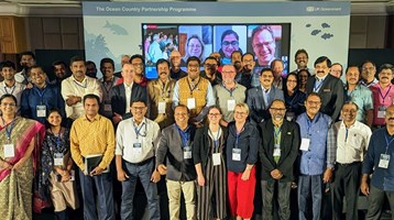
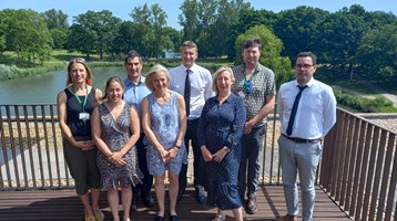
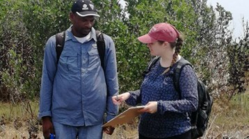
This collaborative project was developed alongside extensive marine stakeholder engagement, which importantly included commercial fishermen.
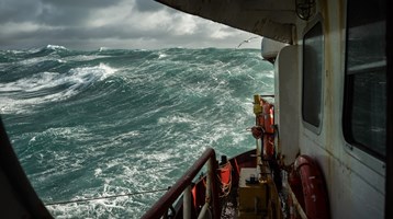
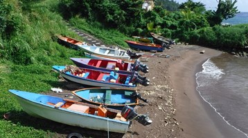
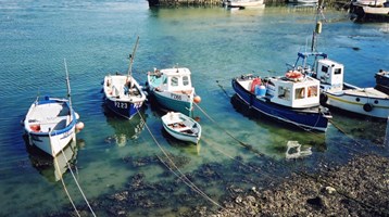
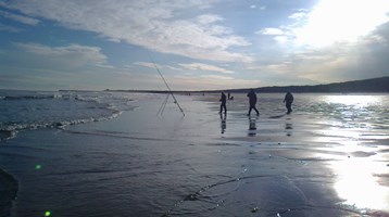
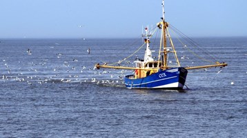
Martin added, “Dorset has one of the highest numbers of inshore commercial fishing boats anywhere in England which, along with some of the best sailing waters in the southwest, makes our inshore waters very busy. So, it was important to the development of this tool that we spoke to the people who are out there day to day earning a living or enjoying the fantastic bays and waters of the area.”
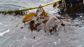
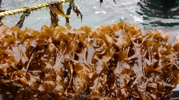
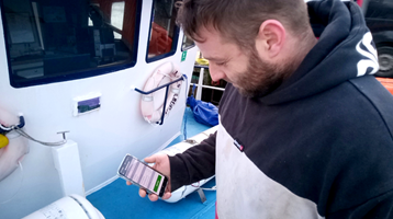
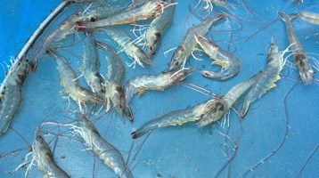
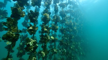
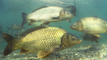
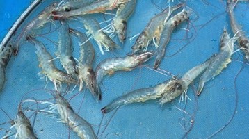
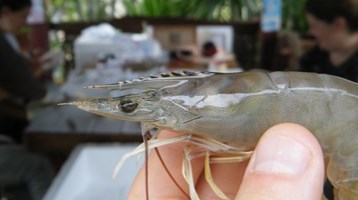
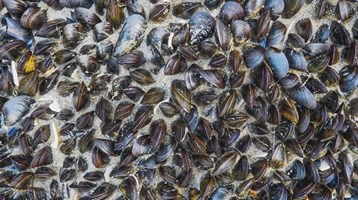
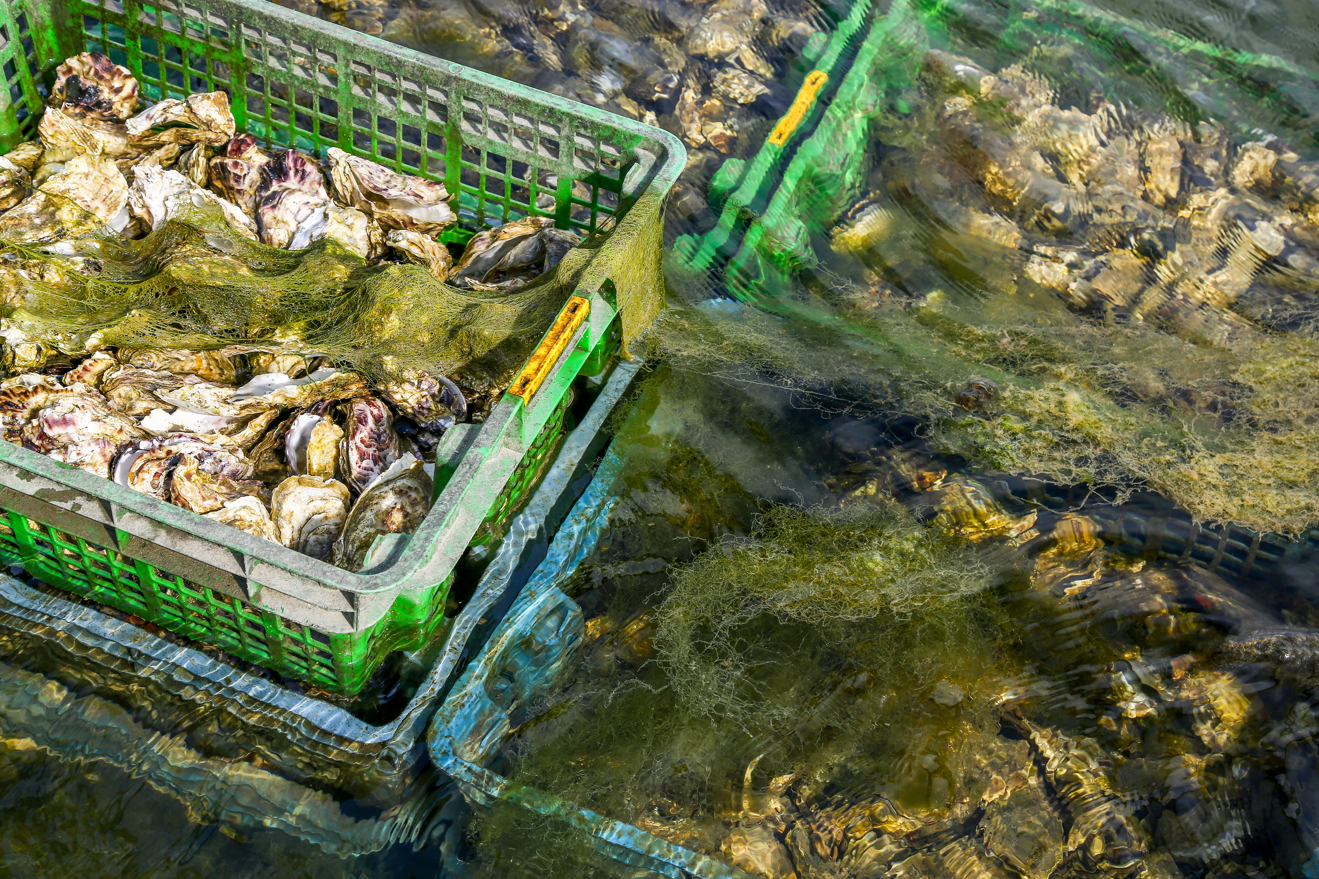
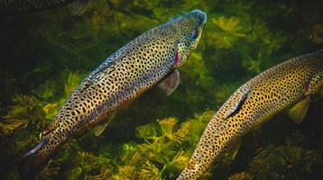
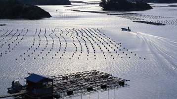
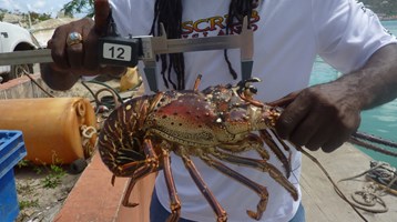
As a result, Cefas has produced an interactive map which is hosted on the Dorset and East Devon Aquaculture Hub (Aquaculture Map - Dorset Aquaculture). The map lets potential investors zoom in on specific areas and see which species are most suited to grow there. Martin said, “Aquaculture in England is going to look very different to the Scottish industry, which focuses on salmon. England’s coastline isn’t really suitable for large cages of fish, but it is suited to the growing of shellfish and seaweed on long lines, as shown in Lyme Bay which already has a large mussel farm offshore, producing rope grown mussels.”
Simon Kershaw, who led the project in Cefas added “The project has used Cefas’ expertise in aquaculture science and marine modelling to identify species and areas best suited for the development of sustainable aquaculture in this region, alongside existing resource uses and constraints.
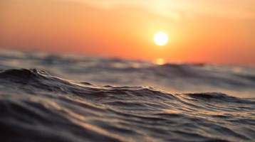
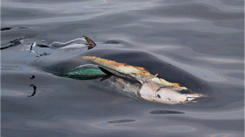
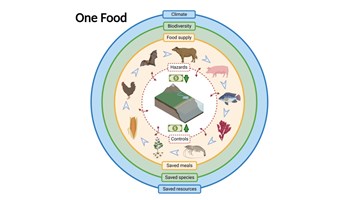
This study has highlighted significant potential areas for different species and systems within the FLAG area in which aquaculture could contribute to increasing the share of ‘low-carbon’ protein from the ocean as a substitute for emission-intensive land-based animal proteins as a climate change mitigation strategy.
The interactive mapping tool, together with the Dorset Aquaculture report out today , represent a significant synthesis of data on habitat, water quality and species suitability for aquaculture development, which can support business plans. This combined detailed modelling for potential aquaculture sites could be replicated across other stretches of the coastline.
Stakeholder engagement was key to developing this tool, and the mapping alongside the report will support sustainable aquaculture in Dorset.”
There is a facility on the aquaculture website for users to give feedback online so that the resource may be refined and updated in the future. The report notes that in the event of future planning applications, more detailed site assessment and impact assessment would still need to be undertaken by the applicant.
Related to this article
Topic
Case studies


People


News


Further Reading